What Wildbook should this feature be in? export tab
What would you like to see? crop coordinates for each encounter or being able to directly export crop images/individual and side folder
How would this functionality help you? In a LOT of ways, eaiser to check, to store, to share
Hello everyone,
I hope you’re all doing well. I have a feature request that I believe would greatly enhance the user experience when exporting data from wildbook.
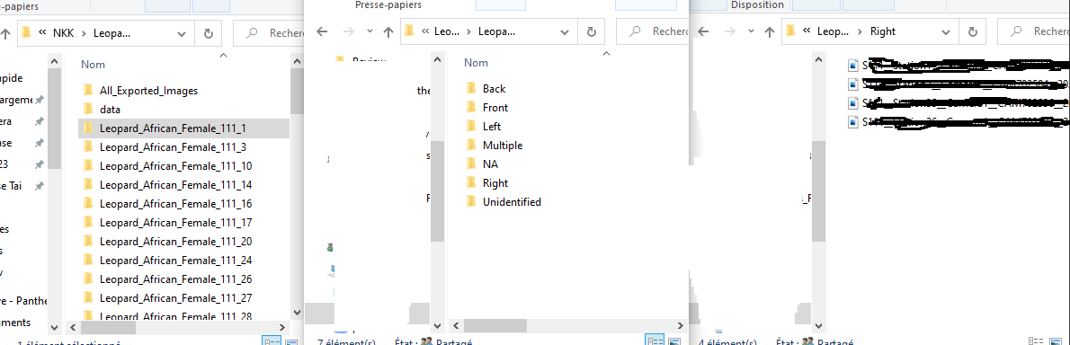
Currently, when I export my identifications using the Standard Format Export in the Encounters tab, I find it challenging to manage each encounter’s cropped images. I’d love to have the option to export each encounter’s crop images into individual folders, with the possibility of adding a side folder (please see the attached drawing for a visual representation). I understand that implementing this feature might require significant effort, but it would be immensely valuable for our workflow.
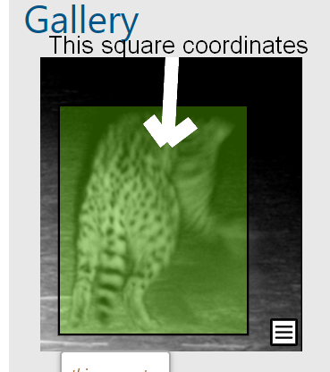
Alternatively, a simpler solution would be to include the coordinates of the crop square encounter for each image in the Standard Format Export. This way, I could easily use the image references and coordinates to create my own folders and manage the crop images accordingly.
Additionally, I’ve encountered a minor issue when importing my images and datasheets. The original names of my images are changed in the Standard Format Export sheet, and some special characters are removed. For example, the original name “S3129__Station13__Camera2__CA704133__2022-01-30__05-21-35__24__1.JPG” becomes “S3129Station12Camera2CA70426420220201031457461.JPG” in the export sheet. Although these are not the same images, it highlights the format issue. This probleme make it a bit more complicated to link ACW databases to other databases for example.
I greatly appreciate your consideration of these requests, and I believe these improvements would significantly enhance the data export process for many users.
Thank you for your time and attention to this matter.
I hope everyone is doing well. I’m just checking if this feature is something you will consider developing ? I understand that it may not be a top priority, and that’s perfectly fine. However, I would appreciate it if you could let me know if there is a timeline for its development or if I should explore alternative solutions on my end.
Hi @rhorion , thanks for following up on this again!
Exporting the images is a significant overhead for us due to the social impacts, and we do not have the manpower to accomplish this at the moment.
That being said, the ability to export the annotation coordinates is a much smaller lift since we get them from the image analysis server. I don’t have a timeline for when it will be done, but I can say that this is achievable and we will get a development ticket made for it shortly. Once that happens, @Anastasia will follow up with the ticket reference.
Hi @rhorion - I wanted to close the loop on this string. T4C has developed and deployed a new desktop utility called WildEx, that uses a new export file in ACW to enable the export of annotated images. The new export file includes the annotation coordinates but you shouldn’t need those now with the full WildEx functionality.
You may have already seen the announcement about this via our newsletter but I wanted to tie it up here as well.
You can find the user guide and WildEx executable file on our T4C website. Feel free to reach out directly anytime with questions.
As for your 2nd issue, the file naming conventions not exporting nor displaying correctly (with the original file name) is in progress with Wild Me.
@anastasia - you might want to split this into 2 tickets and you can obviously close the one related to the export feature request.